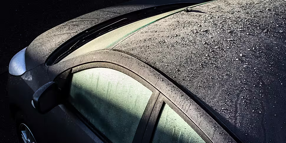
A winter weather advisory has been issued for the country until Sunday.
It is warning of very cold conditions this week as an Arctic airmass sets in, bringing "sharp to severe frosts and icy stretches on roads".
There will also be showers of hail, sleet, and snow during the second half of the week.
Head of Forecasting at Met Éireann Evelyn Cusack told Newstalk Breakfast this is the start of a cold spell.
"It going to be a very cold week," she said.
❄️Winter Weather Advisory issued❄️
Very cold this week🥶 as an Arctic airmass establishes itself over Ireland.
Updates with potential warnings will be issued in the coming days.
Full Advisory details⬇️https://t.co/ZsjQsKDvt6
Be Winter Ready guide⬇️https://t.co/Iz4QfmrzPJ pic.twitter.com/ODXUMn7lJF— Met Éireann (@MetEireann) December 4, 2022
"The airmass will be coming down from the Arctic; the very mild November we had - temperatures 15°, 16° - that air came up the tropics.
"So it's a real reversal in airmasses - so a very, very cold week ahead - in fact getting progressively colder.
"Just normally cold today and tomorrow, and then on Wednesday night an actual cold front's going to move down over Ireland."
0° to -6°
She said this will bring some "hail, sleet and snow showers", particularly to Donegal, Cavan, Monaghan and Northern Ireland.
"The big significance for this band is that it's going to bring us into even colder air," she said.
"So for Thursday, Friday, next Saturday, next Sunday, next Monday we can nearly say bitterly cold.
"The only good thing is there won't really be much wind, so there's not going to be a huge wind chill effect.
"The air temperatures by day will be just about 0° and down to -5° at night, -6°."
White Christmas?
Asked about the potential of snow, Evelyn said: "We could get a snow shower cropping up at any time, but it looks more like the low temperatures at this stage.
"Met Éireann will be issuing low temperatures warnings for the second half of the week.
"We've had extremely mild winters for the last two winters, so it's a bit of a shock to the system.
"This is the beginning of a cold spell lasting to Christmas Day, so hopefully Santa will bring us milder weather.
"I think we'd all wish for that; we can look at snow on the Christmas movies.
"It does look maybe the Atlantic milder air will breakthrough next week, but certainly between now and next Monday we really need to plan.
"Just prepare a bit, and it is going to be exceptionally cold," she added.
Greenland Block
It comes as a phenomenon known as the Greenland Block is due to arrive in Europe.
This is an area of high pressure that sets up over Greenland and 'blocks out' the Atlantic.
"We're not talking about 'Beast from the East'... it's not quite cold enough in the east, for now at least," Alan O'Reilly from Carlow Weather told Newstalk.
"The weather models are fairly sure that the Greenland Block is going to set up, but then there's a few little subtle variants to that that can make a big difference.
"Low pressure will go to the south, high pressure to the north - which is the opposite to what we normally have.
"However where exactly those low pressures end up depends on where the air that we then get coming towards us," he added.


