


People in the west of Ireland are being warned of the potential for thunderstorms and flooding over the next few days.
Hurricane Ernesto has been making its way across the Atlantic and is expected to reach Irish shores later today, by which point it will no longer be classed as a hurricane.
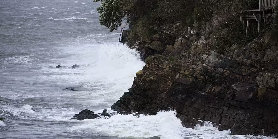
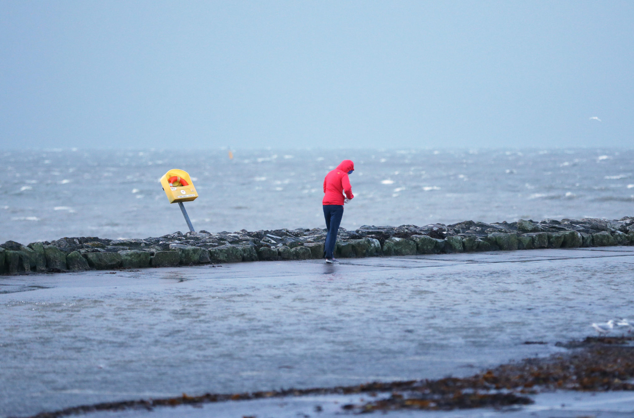
A status yellow wind warning is in place for Galway and Mayo from 7pm tonight, lasting until tomorrow afternoon, with strong winds of up to 100 km/h and heavy rainfall expected, which could lead to localised flooding.
'A lot of energy'
Cathal Nolan from Ireland’s Weather Channel said people should be mindful of the warning if planning to travel tonight.
“This is the remnants of Hurricane Ernesto, [so] it does mean that there’s a lot of energy in the system,” he told Breakfast Briefing.
“There’s a lot of tropical air contained in it, which means that we will see quite heavy precipitation in parts and there is the risk of localised flooding in areas.
“It’s occurring at a time when we do see high astronomical tides, so there is a risk of coastal flooding as well.”
 Flood water in a coastal car park in Salthill, Galway during Storm Elanor in 2018.
Mr Nolan said the cool Atlantic waters will have weakened Hurricane Ernesto’s strength, which was previously a Category 2 hurricane, before it reaches Ireland.
“It's not a system that's really reinvigorating,” he said.
“Sometimes they can reinvigorate themselves as was the case with ex-Hurricane Ophelia, of course, which brought quite a lot of damage back in 2017 but that's certainly not going to be the case with the remains of Ernesto.
“It will be a mid-latitude cyclone when it makes an impact across Ireland tonight.
“Wind speeds up to or just beyond 100 km/h for Atlantic seaboard counties and elsewhere maybe 70 km/h or 80 km/h, so it will be a windy and blustery night but by no means does it pose a significant risk to life.”
Next week
Mr Nolan said good news is “limited” in the coming weeks.
“For the next seven to ten days, it remains pretty mixed," he said.
“Even beyond tonight, there is the risk of further heavy rain and there will be further weather warnings into tomorrow night, so that’s a developing story to keep an eye on.
“Beyond that, into the weekend, we see more settled conditions but even looking ahead to next week, it remains pretty mixed, pretty mobile.
"We can only hope for an improvement as we go into the first week of September.”
Hurricane Ernesto is the third named hurricane in the 2024 hurricane season and caused flooding in Bermuda and Puerto Rico over the weekend.
Main image: 16/10/2017. Hurricane Ophelia Kinsale. Advance heavy seas reach landfall outside Kinsale in County Cork. Photo: Eamonn Farrell/RollingNews.ie


