The Government is warning of the potential for tidal and spot flooding when Hurricane Lorenzo arrives in Ireland.
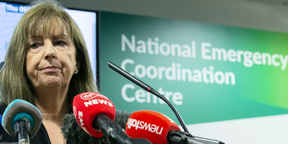
The National Emergency Coordination Group (NECG) met this morning after Met Éireann issued three weather warnings for wind and rain starting on Thursday evening.
A status Orange wind warning will come into force in Galway, Mayo, Clare, Cork, Kerry and Limerick at 6pm tomorrow and will remain in place until 3am on Friday morning.
Meanwhile a Status Yellow wind warning will be in place for the entire country from 9am on Thursday until 6am on Friday.
A yellow rainfall warning will also be in place nationwide from 9am Thursday until 9am Friday.
Latest Meteorologist Commentary updated at 1:30pmhttps://t.co/ktXtWjbfIg #Lorenzo pic.twitter.com/Ujc8ucrsow
— Met Éireann (@MetEireann) October 2, 2019
Met Éireann Head of Forecasting Evelyn Cusack said people should not become complacent, even though there is no red warning.
“It will be originating from a hurricane so it has an extra dynamic,” she said. “There might be lightning and that sort of thing and there could be pockets of very heavy rain.
“We are not issuing a red warning for the whole country but I am trying to get across that, even in the yellow areas, there could be trees down; there could be locally dangerous conditions – so people must take the advice of the local authorities etc.”
Storm Lorenzo
Met Éireann said Lorenzo brought hurricane force winds to the Azores this morning and said Ireland will begin to feel its effects from midday tomorrow.
The forecaster said it will lose it hurricane status as it passes over colder waters and engages with the polar jetstream on its way to Ireland.
#Lorenzo has quite a European vacation planned! Can't remember the last time I have seen a forecast like this for an Atlantic hurricane. pic.twitter.com/ssdatKVp3L
— Jim Cantore (@JimCantore) October 2, 2019
“Dangerous storm surge”
It said it will bring a “dangerous storm surge” to western and southwestern coastal areas due to a combination of very low pressure, onshore storm force winds, high tides and high sea swell.
The NECG said members of the public should stay away from coastal areas while the warnings are in place, due to high seas and the potential for tidal flooding.
Localised heavy showers could also bring spot flooding in places.
Our colleagues in the UK Met Office have issued wind warnings for #Lorenzo covering parts of Northern Ireland.
Their warning information can be viewed here:https://t.co/yVgU0dsTng— Met Éireann (@MetEireann) October 2, 2019
High winds
The group said people should be extra vigilant of the risk of trees breaking or falling in high winds, possibly bringing down power lines and posing a danger to road users.
It said employers should work with their employees to plan travel arrangements on Thursday evening into Friday, taking the weather warnings into account when planning journeys.
Members of the public are also urged to make sure their phones are fully charges and to check on vulnerable neighbours and family members.
The NECG said local authorities have “activated their Crisis Management Teams and Local Coordination Groups” ahead of the storm’s arrival and the relevant State departments are in a “state of preparedness.”
People are advised to monitor Met Éireann forecasts, news and other local sources of information to stay update on the storm’s progress.
Humanitarian Assistance Scheme
Meanwhile, Department of Social Welfare said its staff will available to supports householders in areas affected.
The Humanitarian Assistance Scheme will be available to people whose homes are damaged by flooding or severe weather events and are not in a position to meet costs for essential needs, household items and, in some instances, structural repair.
The scheme is means tested and is not available to businesses or for losses that are covered by insurance.
Anyone in receipt of social welfare who is not in a position to attend Department appointments due to the bad weather should contact their local Intreo office.


