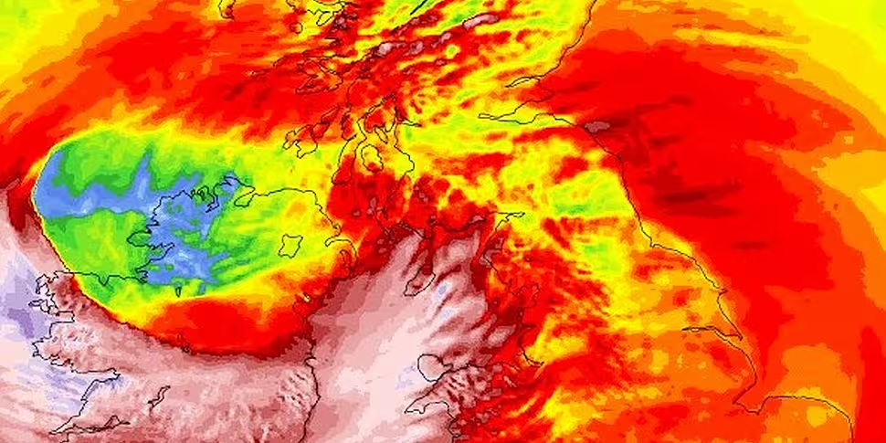
As Storm Éowyn made landfall overnight, record breaking gusts were reported.
The record for the maximum ever gust of wind in Ireland has been broken.
According to Met Éireann, a gust of 183km/h was recorded at Mace Head, which broke the previous record of 182km/h.
Gusts of 139 and 137km/h were also recorded in Knock and Shannon respectively.
The highest mean wind speed since the storm began was 130 km/h at Mace Head, which is a hurricane force wind.
Wind observations at 5am
Max gusts (km/h):
- Mace Head 183 (Red)
- Knock 139 (Red)
- Shannon 137 (Red)Note: The record gust for Ireland is 182km/h
Highest mean speeds (Red)
- Mace Head 130 (Hurricane force)
- Shannon 94
- Sherkin 85 #StormÉowyn pic.twitter.com/jLIgb5u4Df— Met Éireann (@MetEireann) January 24, 2025
The entire country remains under a Red Weather Warning.
Met Éireann has said possible impacts of Storm Éowyn include danger to life, extremely dangerous travelling conditions, unsafe working conditions, transport disruptions and cancellations, fallen trees, power outages, structural damage, wave overtopping and coastal flooding.
Schools, colleges and creches will all be closed today.
On Newstalk Breakfast yesterday, Met Éireann's Joanna Donnelly urged the public to stay home.
"I can't emphasise enough how dangerous travelling conditions are," she said.
"If you can avoid travelling - the best thing you can do tomorrow is stay home."
'Significant'
Dangerous driving conditions will continue even after the Red Weather Warning expires, Ms Donnelly said.
"The winds are looking like they’re going to be very significant," she said.
"I would emphasise [that when] you come out of a Red Warning, there are still very dangerous conditions on the roads because the impacts carry through.
"There will be trees on the road - the advice from Government is to stay home."
Ms Donnelly said blustery weather will continue even after the Red Weather Warning has expired.
Southerly winds will continue tomorrow and sleet and snow is expected in some parts following Storm Éowyn.
Feature image shows a model map of Storm Éowyn over Ireland.


