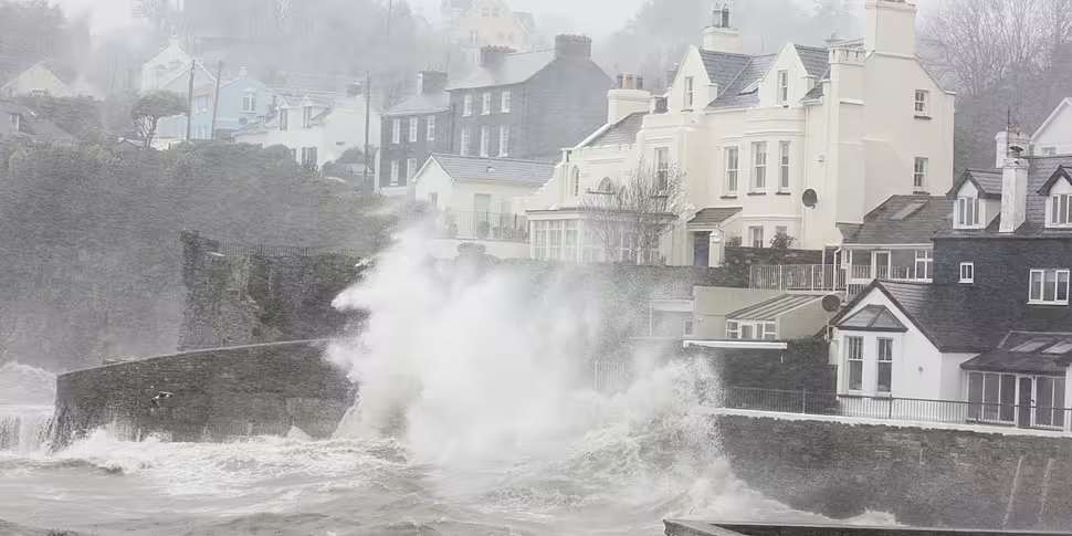
Met Éireann has issued a Status Red weather warning for wind ahead of the arrival of Storm Éowyn.
Storm Éowyn is forecast to track across Ireland and the entire country will come under a weather warning from early Friday morning.
The warning will last until late Friday afternoon.
Met Éireann has said Ireland may see gusts of up to 130km/h and there is a risk of fallen trees, damage to power lines, power outages, structural damage and travel disruption.
On Newstalk Breakfast, Carlow Weather's Alan O'Reilly said Storm Éowyn may be the "most significant storm" since Storm Ophelia.
"I'm not saying it will be as bad as Ophelia for some areas but it could be," he said.
An Orange Wind Warning has been issued for Ireland, due to Storm Éowyn, beginning 02:00 Friday 24th, valid until 17:00 Friday 24th.
Please check the details below. https://t.co/XIjOm8VbJ1#stormÉowyn pic.twitter.com/MKA99rqqkQ
— Met Éireann (@MetEireann) January 22, 2025
The west and southwest are likely to see the more severe impact of the wind according to Mr O'Reilly.
"Obviously as this storm hasn’t even developed fully yet, tracking it and the exact track will change," he said.
"So I imagine Met Éireann will be updating and possibly upgrading some of those warnings."
With the storm tracking across the entire country, Friday will be "a very tricky day" in terms of weather, Mr O'Reilly said.
"There will also be some snow before it on Thursday night in parts of the northwest - it will turn to rain," he said.
Outlook
By Friday night, conditions are expected to ease.
However, Ireland could see more stormy conditions next week.
"Saturday will be a better day but there is more wet and windy weather on the way from Sunday and also possibly next week," Mr O'Reilly said.
"We could still see more storms - not to the same significance - but we will see more wet and windy weather next week."
Met Éireann said it is "continuously monitoring" Storm Éowyn.
Feature image shows strong waves in Kindle during Storm Ophelia.


