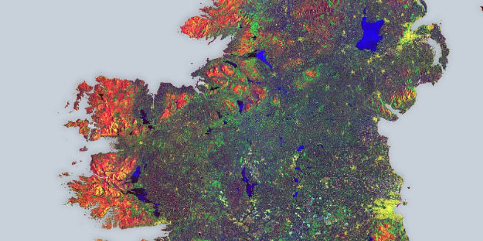
It's Ireland as you've never seen it before, courtesy of satellite images from the European Space Agency.
The image was stitched together from 16 radar scans by the satellite during May 2015, and gives an idea of the island's land coverage and use.
"Different colours show changes that occurred within the 12 days' coverage," says Malì Cecere of ESA web.
"The blues across the entire image represent strong changes in bodies of water, or agricultural activities, such as ploughing.
"An interesting feature is the many yellow 'spots' scattered throughout the entire island, visible even more clearly when zooming in. These clusters all represent farmhouses."


